Tibesti
A volcanic massif spanning 100,000 km² at Chad's northern frontier, ancestral Toubou territory where Emi Koussi rises to 3,415 m, accessible only by winter expedition.
Tibesti occupies Chad's far north, along the Libyan border, across nearly 100,000 km² of volcanic massif. It is the Sahara's highest mountain chain, dominated by Emi Koussi at 3,415 m, followed by Tarso Toussidé and Tarso Voon. These volcanoes, dormant for millennia, retain visible geothermal activity: hot springs at Soborom, sulfurous fumaroles, salt and gypsum deposits bleaching crater floors.
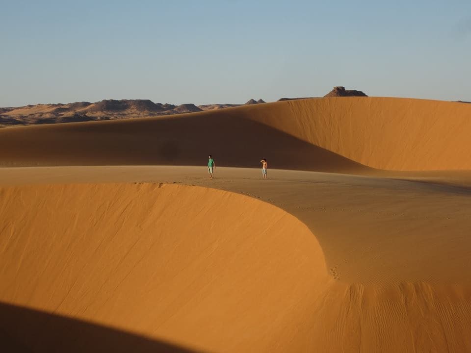
The landscape alternates between black basalt plateaus, narrow gueltas, sandy wadis and calderas spanning several kilometers across. Trou au Natron, near Tarso Voon, opens a crater 6 km wide and 1,000 m deep, lined with white natron and dotted with secondary volcanic cones. Emi Koussi itself shelters a 12 km caldera where seasonal salt lakes still persist. Rock engravings in Wadi Bardagué, near Bardaï, testify to an era when the region received enough rainfall to sustain giraffes and cattle, 5,000 to 7,000 years ago.
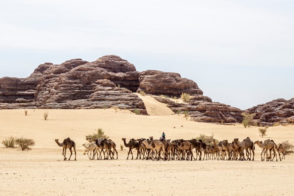
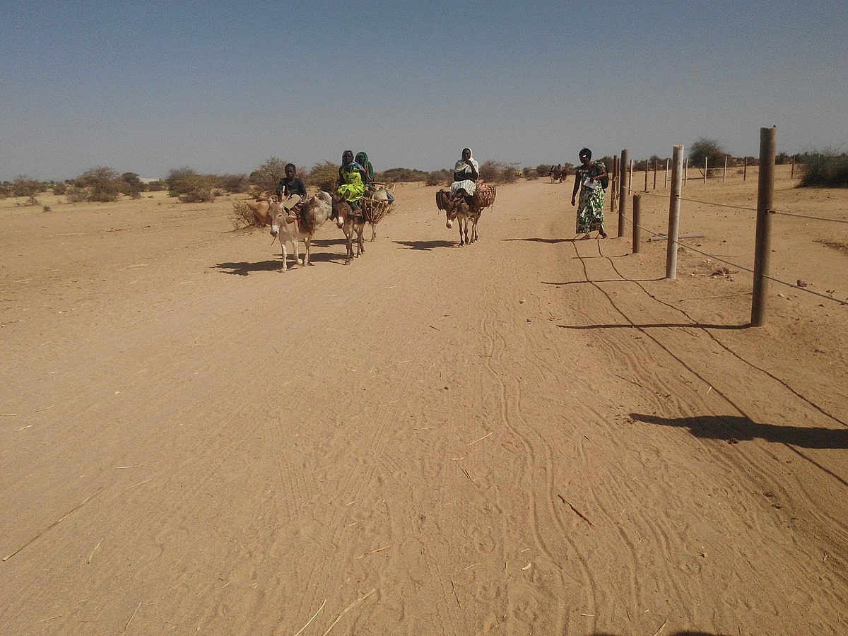
Tibesti is the ancestral territory of the Toubou Teda, camel and goat herders, former caravan traders on salt routes connecting Bilma to Borkou. Their language, Tedaga, remains dominant in the palm groves of Bardaï, Zouar and Aozou. The economy relies on livestock, date harvests from oases, and increasingly, informal gold panning that attracts migrants from the south. Bardaï, the massif's administrative capital, has roughly 4,000 inhabitants, a weekly market and an airstrip used by the military and humanitarian missions.
Access remains among the Sahara's most demanding. From N'Djamena, plan for 1,500 km of track via Faya-Largeau—five to seven days of challenging 4x4 driving. Military permits are required at multiple levels, and armed escort is now mandatory due to regional instability along Libya and Niger borders. Our N'Djamena team manages the paperwork, which typically takes six to eight weeks before departure, and coordinates logistics with our English-speaking Toubou guides based in Bardaï and Faya.
This journey is an expedition, not a circuit tour. Nights are spent under canvas near water points identified by guides. Ascents, Emi Koussi foremost, take five to six days with pack camels from Modra or Yi Yerra, with gradual elevation gain. Night temperatures drop to -5°C at altitude between December and January, while days can still reach 25°C. This contrast, the quality of night sky, the complete absence of tourism infrastructure: this defines Tibesti for those who accept its conditions.
To Discover
Emi Koussi Ascent. Five to six days trekking with camels from Modra, leading to the summit caldera at 3,415 m. Stepped bivouacs, nights below -5°C in December, sunrise views across 200 km of volcanic plateaus.
Trou au Natron. A 1,000 m descent into a 6 km wide crater, its floor carpeted in white sodium carbonate and dotted with black volcanic cones. Allow two days on site with bivouac at the rim.
Soborom Hot Springs. Active geothermal field at 1,700 m elevation, sulfurous fumaroles, basins reaching 70°C and colorful mineral deposits. A classic stop between Bardaï and climbing Toussidé.
Bardaï Palm Grove and Market. The massif's Toubou capital, with Sunday market where Teda herders and caravaniers converge. Rock engravings in Wadi Bardagué, 10 km away, dated to 5,000 years old, depicting cattle and hunters.
Sissé Needles. A forest of phonolite peaks on Tarso Toussidé's western slope, heights from 100 to 400 m, traversed in two to three days of camel trekking away from main routes.
When to Go
Tibesti's practicable window runs mid-November through mid-February. This is the only period when daytime temperatures remain manageable, between 20 and 28°C in the lowlands, and altitude treks are feasible. Nights, however, are genuinely cold: -2 to -5°C on Emi Koussi in December-January, 5 to 10°C in the plains. A -10°C sleeping bag, thermal layers and gloves are essential.
From March to May, the harmattan strengthens and visibility drops due to airborne dust. June through September sees temperatures regularly exceeding 45°C in the lowlands, and rare summer storms can render wadis impassable within hours. October and mid-November remain too hot for high-altitude climbs. We refuse departures outside season—not for comfort, but logistical safety: vehicles overheat, water consumption doubles, and evacuations become unreliable.
Practical Advice
A Tibesti expedition requires 18 to 25 days in the field, including four to six days of track each way from N'Djamena via Faya-Largeau. Plan a minimum of 21 days to combine Emi Koussi ascent with a loop through Trou au Natron, Soborom and Sissé needles. The entry point is N'Djamena's international airport. No commercial flights serve Bardaï; military charter flights are occasional and not guaranteed.
The most coherent combination is Tibesti and Ennedi on a single four-week journey, linking the two Saharan massifs before returning south. This region is unsuitable for families with young children or travelers seeking basic infrastructure. It suits experienced trekkers, physically self-reliant, ready for ten days without showers, signal or restaurants. Our team requires a minimum six weeks between booking and departure to finalize permits, escort arrangements and supply logistics through Faya.